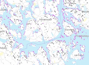
SYKE’s open information service contains now spatial datasets on threatened habitat types. The open spatial datasets can be downloaded as well as utilized in web services and web map applications. The opened datasets belong to fell, inland water and shores, forests, rocky outcrops and scree and Baltic Sea habitat type groups.

Descriptions of the datasets can be viewed in SYKE’s metadata service in Finnish. English translations will be included in the near future.
Open information https://www.syke.fi/en-US/Open_information
SYKE’s Metadata Portal https://ckan.ymparisto.fi/en/
